

Redefining Mapping with Geospatial Intelligences
Empowering organizations with accurate GIS, remote sensing, and mapping solutions for smarter, data-driven decisions.
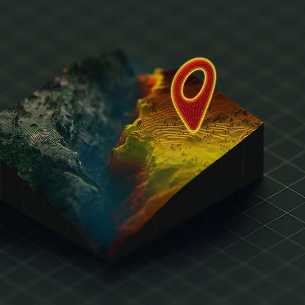
Our Services
At Hagrois, we provide a comprehensive range of geospatial and mapping services designed to meet the diverse needs of our clients. From GIS and resource mapping to cadastral mapping, geodata conversion, and satellite image processing, we deliver precise, data-driven solutions that enhance decision-making. Our expertise also extends to surveying and data collection, as well as web-based GIS development, ensuring seamless access, integration, and analysis of geographic information across multiple platforms and industries.
GIS & Resource Mapping
Comprehensive GIS solutions for data visualization, spatial analysis, and resource mapping to support informed decision-making across various industries.
Learn MoreCadastral Mapping & Data Management
Accurate mapping of land parcels, boundaries, and ownership details, integrated with attribute data to enhance land administration and planning.
Learn MoreGeoData Conversion & Integration
Expert conversion of diverse geospatial datasets into compatible GIS formats, ensuring seamless data integration and optimized database performance.
Learn MoreSatellite Image Processing
Advanced image analysis for environmental monitoring, change detection, terrain modeling, and resource management using high-resolution satellite data.
Learn MoreSurveying & Data Collection
Professional surveying services utilizing modern equipment to deliver precise spatial data tailored to client and industry standards.
Learn MoreWeb GIS
Design and development of interactive web-based GIS applications, offering easy access, visualization, and analysis of spatial data for real-time decision support.
Learn MoreDatabase Management
HAGROIS team works to create centralized, secure, and real-time database management system to store, update, and publish field data according to the client’s requirement strong database is created so that data can be accessed both internally and externally through a secure connection.
Learn More
Partner with Hagrois for Your Next GIS Project
Let’s transform your geographic data into meaningful insights. Contact our team today to discuss customized GIS and mapping solutions tailored to your needs.
Give us a CallPowerful Features for
Your Business

Unlock the Full Potential of Your Geographic Data
From mapping to analysis, Hagrois delivers precision, reliability, and innovation. Learn more about our services and find the right solution for your project.
Get StartedTestimonials
What Our Clients Say About Working With Us : Voices That Reflect Our Commitment