Surveying & Data Collection
Services List

Surveying & Data Collection
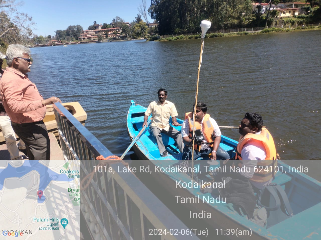
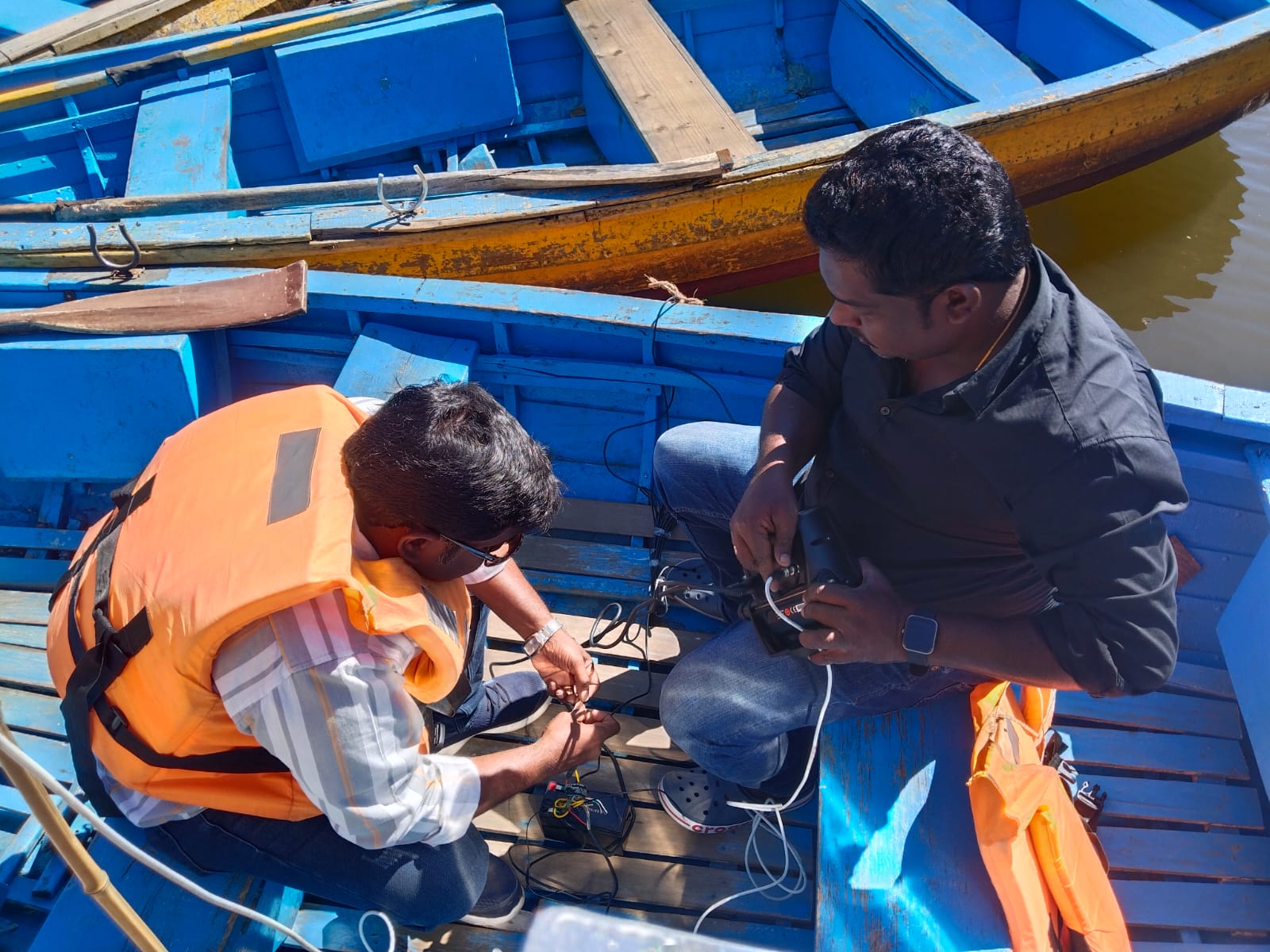
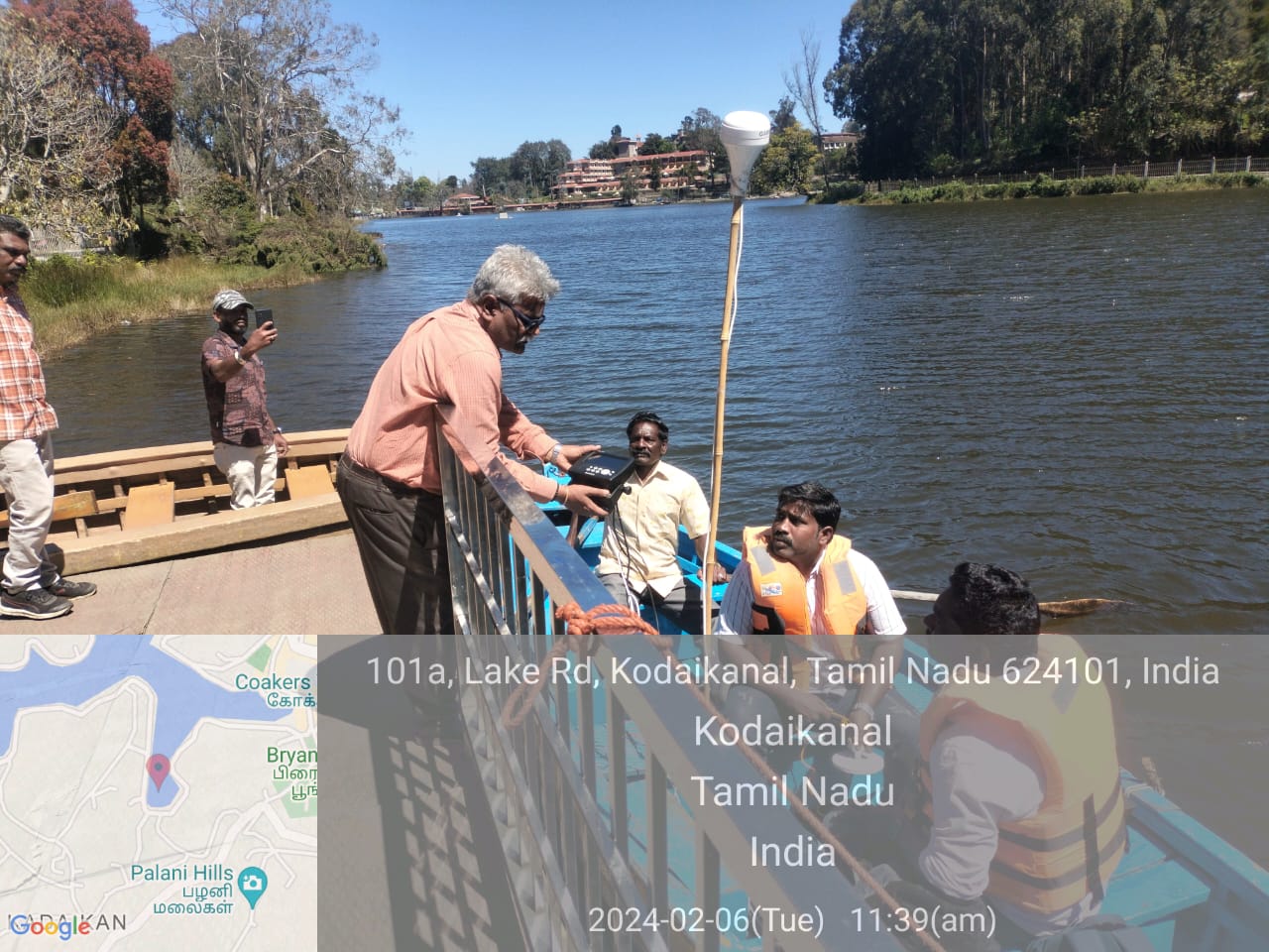
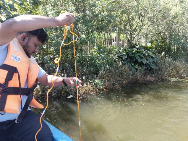
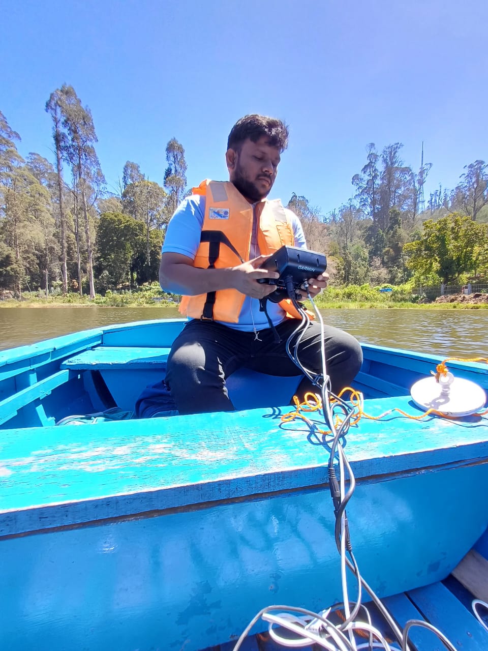
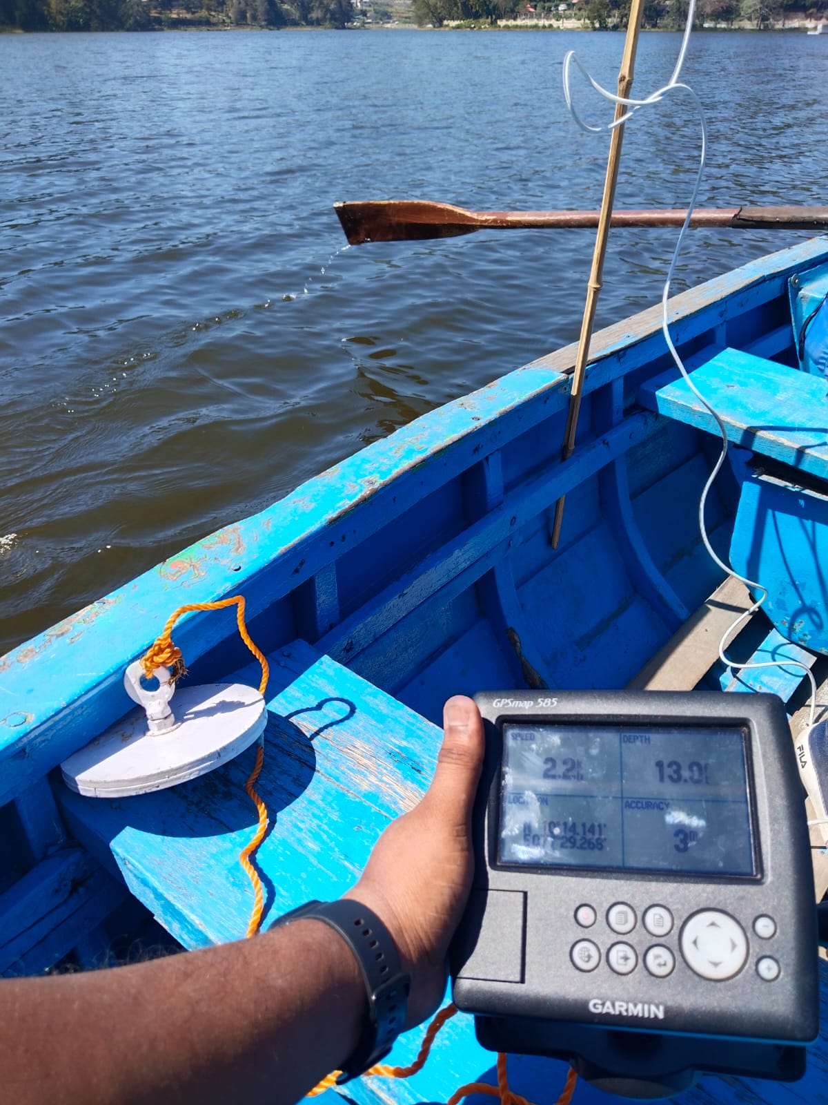
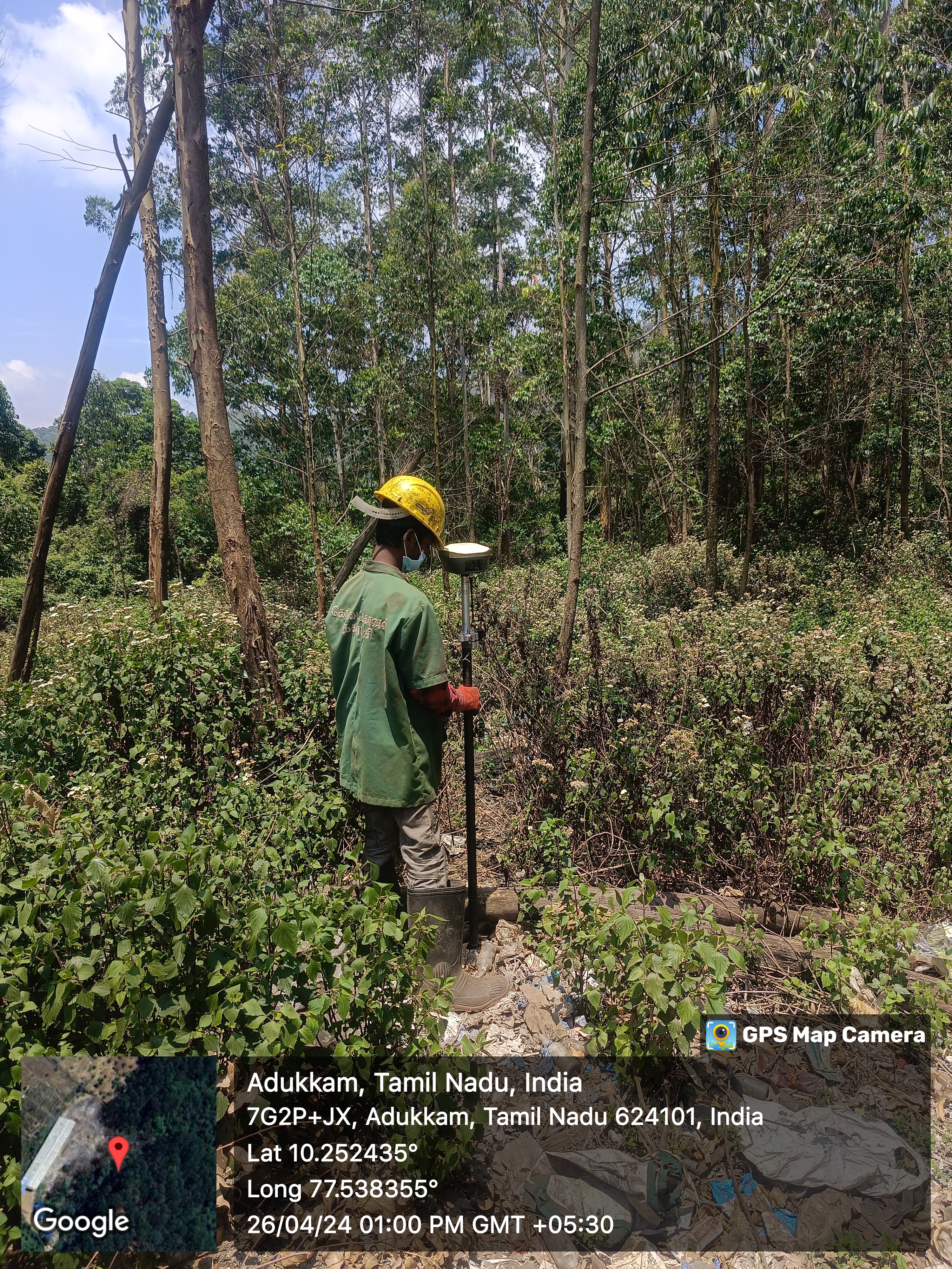
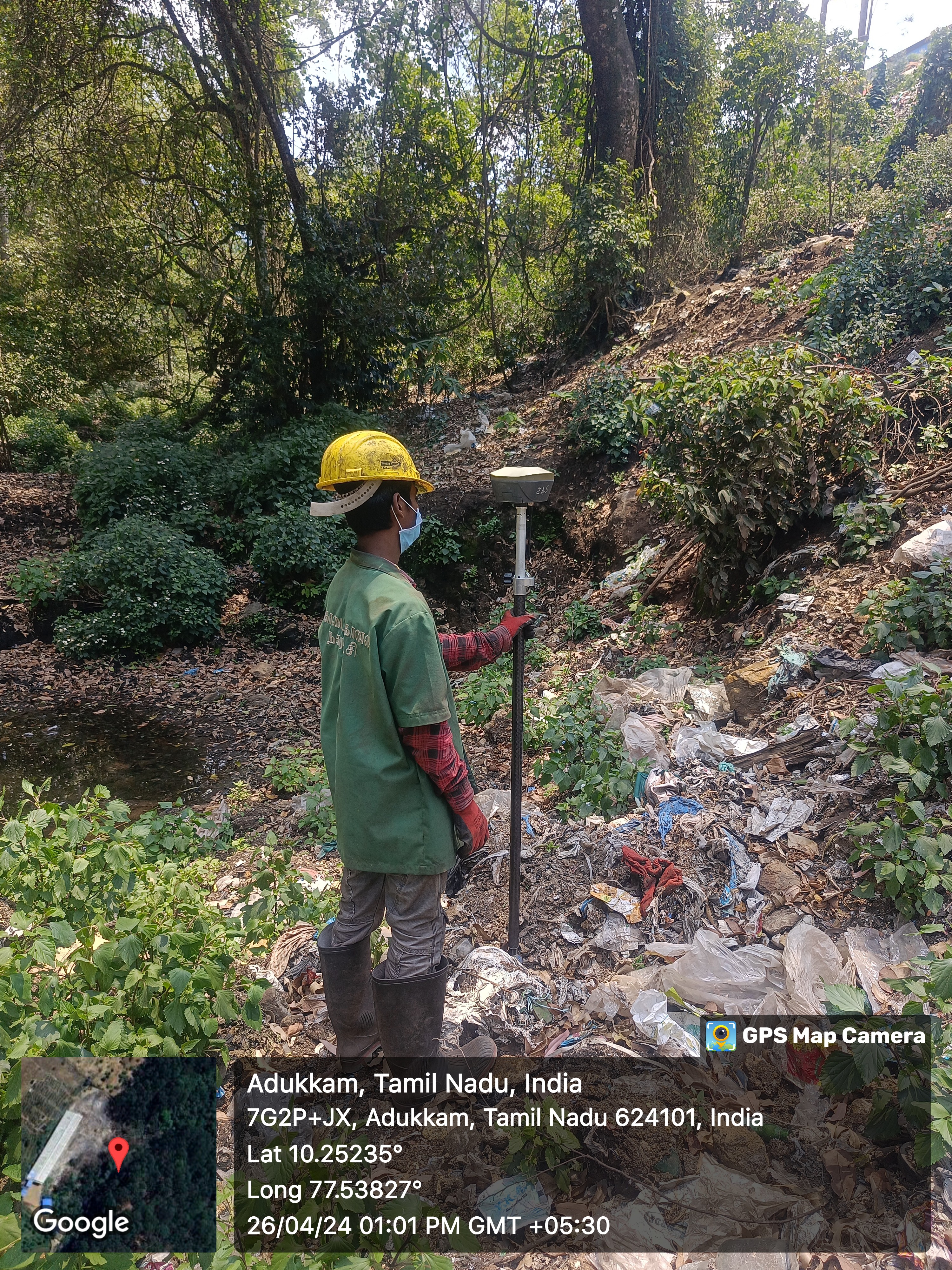
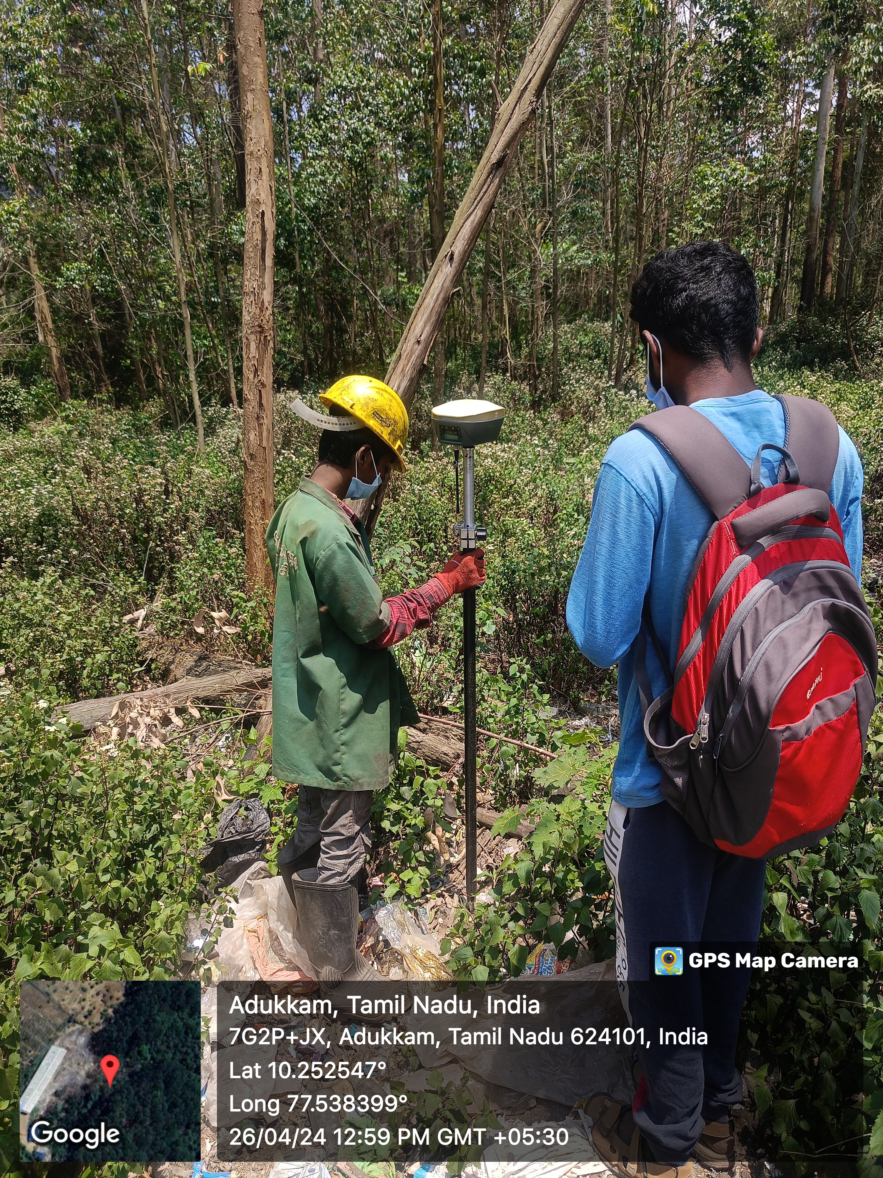
Hagrois survey team has a vast experience in surveying the earth data with extensive skills and high end equipment’s. Depending on the clients requirements the survey will be carried out and data will be delivered as per the client’s requirements or industry standards.
Our Survey team experiences with the following
- Bathymetric surveys – to determine lake depth and to study the underground topography of water bodies
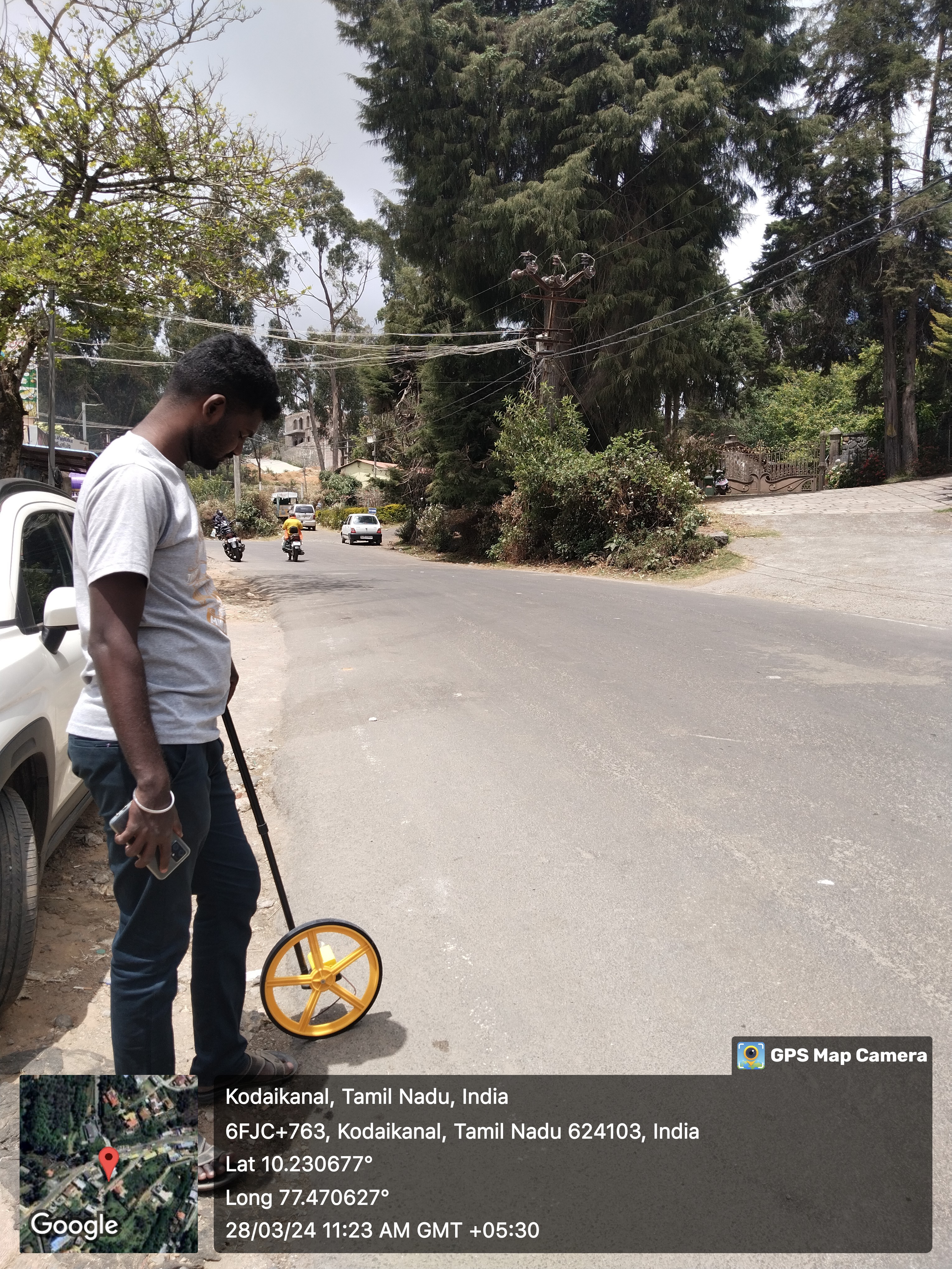
- Mobile Mapping – using hand help GPS
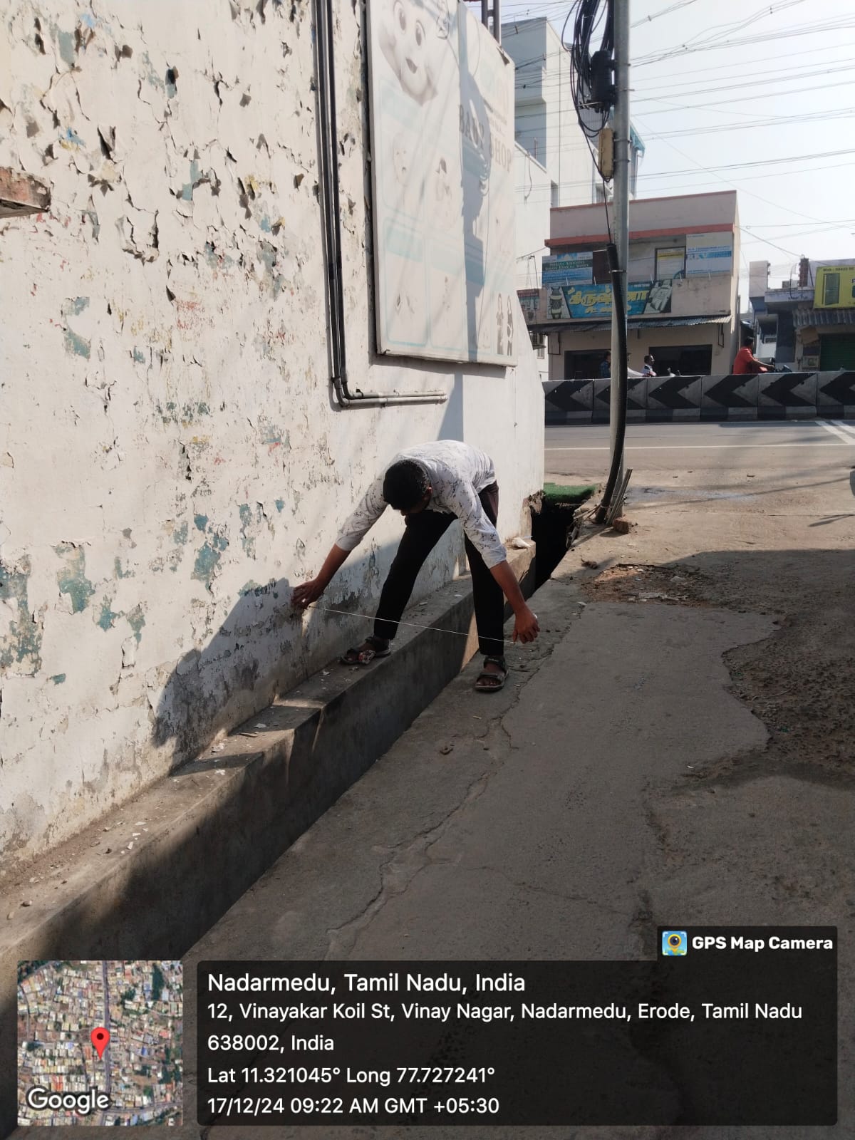
- Total Station Survey
- Engineering Surveys that are associated with engineering design (topographic, layout and as-built) often requiring geodetic computations beyond normal civil engineering practise.
- Topographic surveys: a survey that measures the elevation of points on a particular piece of land, and presents them as contour lines on a plot.
- Piping surveys
Hagrois uses the modern software development technology tools and the current programming methods and design architectures to deliver working solutions that meet the unique needs of our clients. We offer end to end customization and application development solutions on open source platforms for data conversion, client / server application development, and web application development.
Technology is a crucial component of an application, but it is the accuracy and consistency of the information provided that determines its success. Hagrois can assist with providing database administrators and GIS data analysts in the implementation of a geodatabase. In addition, we can assist with needs assessment, diagramming data models, performing data conversion, and training users.