About

ABOUT US

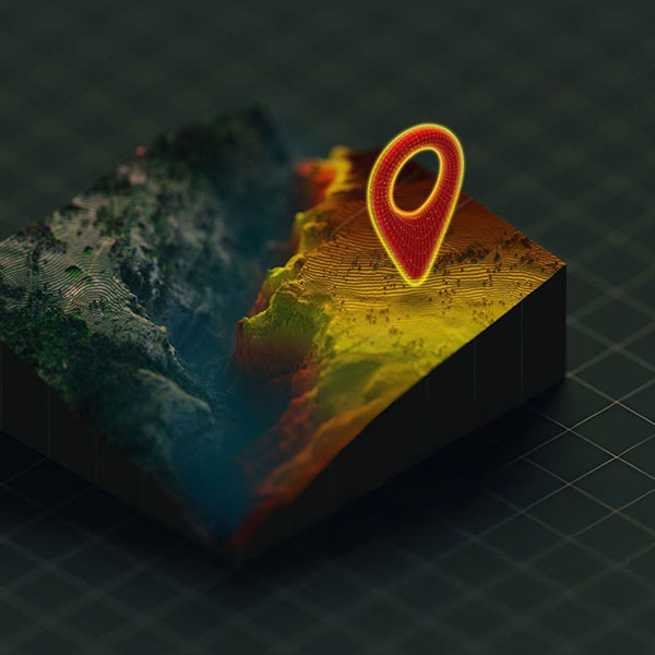
Hagrois was established in the year 2017 to provide an extensive range of digital mapping and Geographic Information Systems (GIS) services to public and private sector organizations for both long-term and short-term projects, which helps organizations to better comprehend and gather benefits from the geographic information at their disposal. At Hagrois we rely on redefining mapping concepts using open source geospatial technology. We believe in enabling geospatial trust mapping should be fast, easy and powerful. We’re mapping fanatics and have been delivering geographic solutions for various people based on their necessities.

Hagrois delivers high quality and effective decision making maps, created using high quality and accurate data. Geospatial solutions from hagrois provide you with skilled data collection, creation, management and analysis that leads the premier quality across many domains. The tactics and techniques that are used for data collection processing & management ensure high quality output help you to overwhelmed critical and complex challenges with confidence.

WHO WE ARE ?

Our core team is expertise with enormous skills with GIS, Remote sensing, Database management and Web-based mapping solutions. Our team generates datasets and analysis which helps clients to pursue and understand the prominent features of a project.

Team Hagrois is young, dynamic and passionate in all the works we do. We understand the client requirements by making a comprehensive study of their necessities and help them in getting the solutions with ease. This attitude alliance with clients and industry patrons helps to improve performance throughout the maturation of a project. Customer-specific solutions are custom-made from the robust pre-developed components and also building solutions to customer specifications.

GeoData Conversion & Integration

Seamless Data, Smarter Decisions

Transforming complex GIS datasets into usable, integrated formats. Hagrois ensures efficient data conversion, loading, and synchronization helping organizations maintain reliable and accessible geospatial databases.

Surveying Services

Precision Mapping from Ground to Sky

Our expert survey team combines technical skills and advanced equipment to capture accurate earth data. From topographic mapping to engineering surveys, we deliver results aligned with industry standards and client needs.

Trusted GIS Partner for Smarter Governance

Empowering Decisions Through GIS Intelligence

Delivering advanced GIS, remote sensing, and mapping solutions to help governments and organizations manage, plan, and grow smarter.

Image Processing

Turning Satellite Data into Insight

Utilizing advanced satellite image processing techniques to analyze environmental changes, land use, and natural resources. We provide actionable insights for climate monitoring, urban growth, and terrain evaluation.

Bathymetry Survey

Mapping the Depths with Precision

Delivering accurate underwater terrain and depth mapping for ports, reservoirs, and coastal regions. Our bathymetric surveys enhance navigation safety, flood modeling, and marine research through high-resolution geospatial data.

Partner with Hagrois for Your Next GIS Project

Let’s transform your geographic data into meaningful insights. Contact our team today to discuss customized GIS and mapping solutions tailored to your needs.

Give us a Call

Our Team

At Hagrois, our team is a blend of young, dynamic, and highly skilled professionals with expertise in GIS, remote sensing, surveying, database management, and web-based mapping solutions. We are passionate about transforming geographic data into meaningful insights, delivering innovative and precise solutions tailored to each client’s needs. Collaboration, creativity, and technical excellence define everything we do.

Dr.C.V. Nishikanth, Ph.D.

Managing Director

Esther Geonie.G

GIS Technician

Sri Balaji.S

GIS Technician

Subha.S

GIS Technician